![]()
![]() Death Valley is located in the south eastern part of California, nestled right up against the Nevada border. It is the largest national park in the lower 48 states and motorists can arrive a variety of ways.
Death Valley is located in the south eastern part of California, nestled right up against the Nevada border. It is the largest national park in the lower 48 states and motorists can arrive a variety of ways.
The closest major airport is McCarran International Airport (LAS) in Las Vegas – about 100 miles away from the eastern/southern park entrance. One can rent a car in Las Vegas and then drive to the park – a little more then a 2 hour drive to Furnace Creek with little traffic. Death Valley is about 10 hours driving from the San Francisco Bay Area and about 5 hours from Los Angeles.
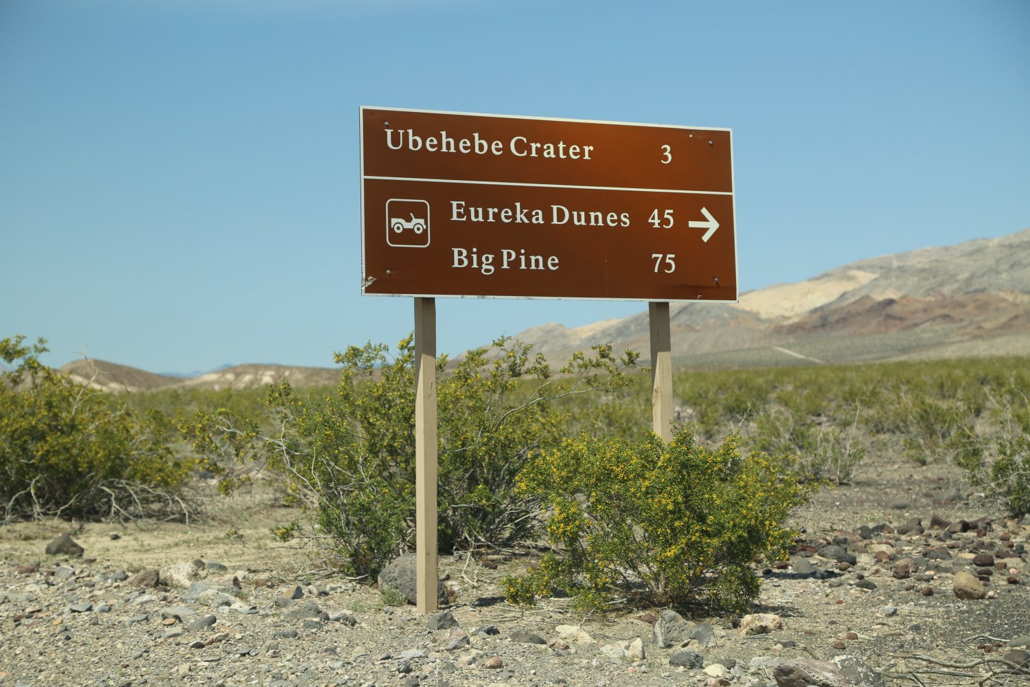
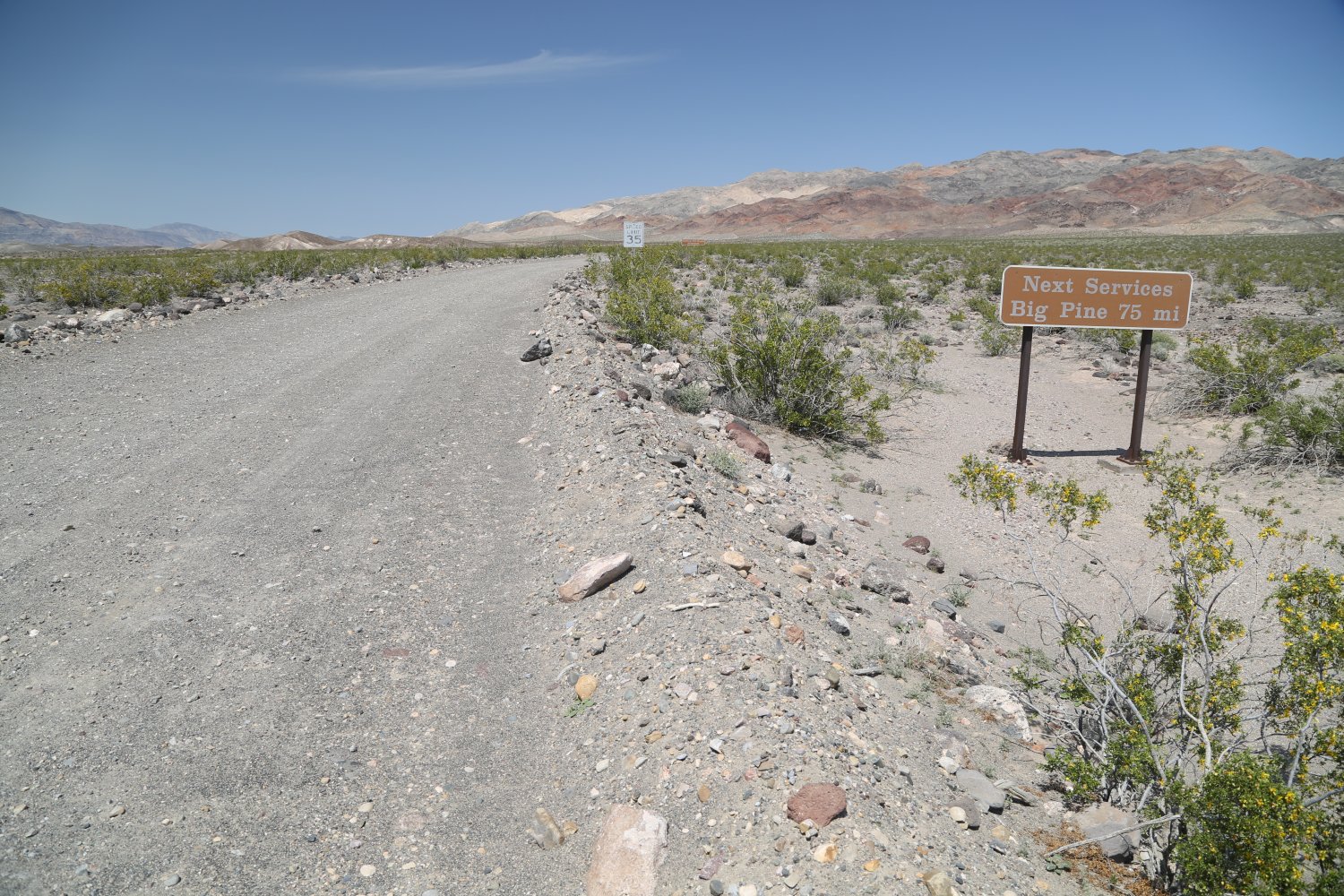
Those who enter the park from the eastern Sierra Nevada driving south on the 395 will take Highway 136 turnoff to Death Valley south of Lone Pine. From this junction its about 104 miles to the park entrance.
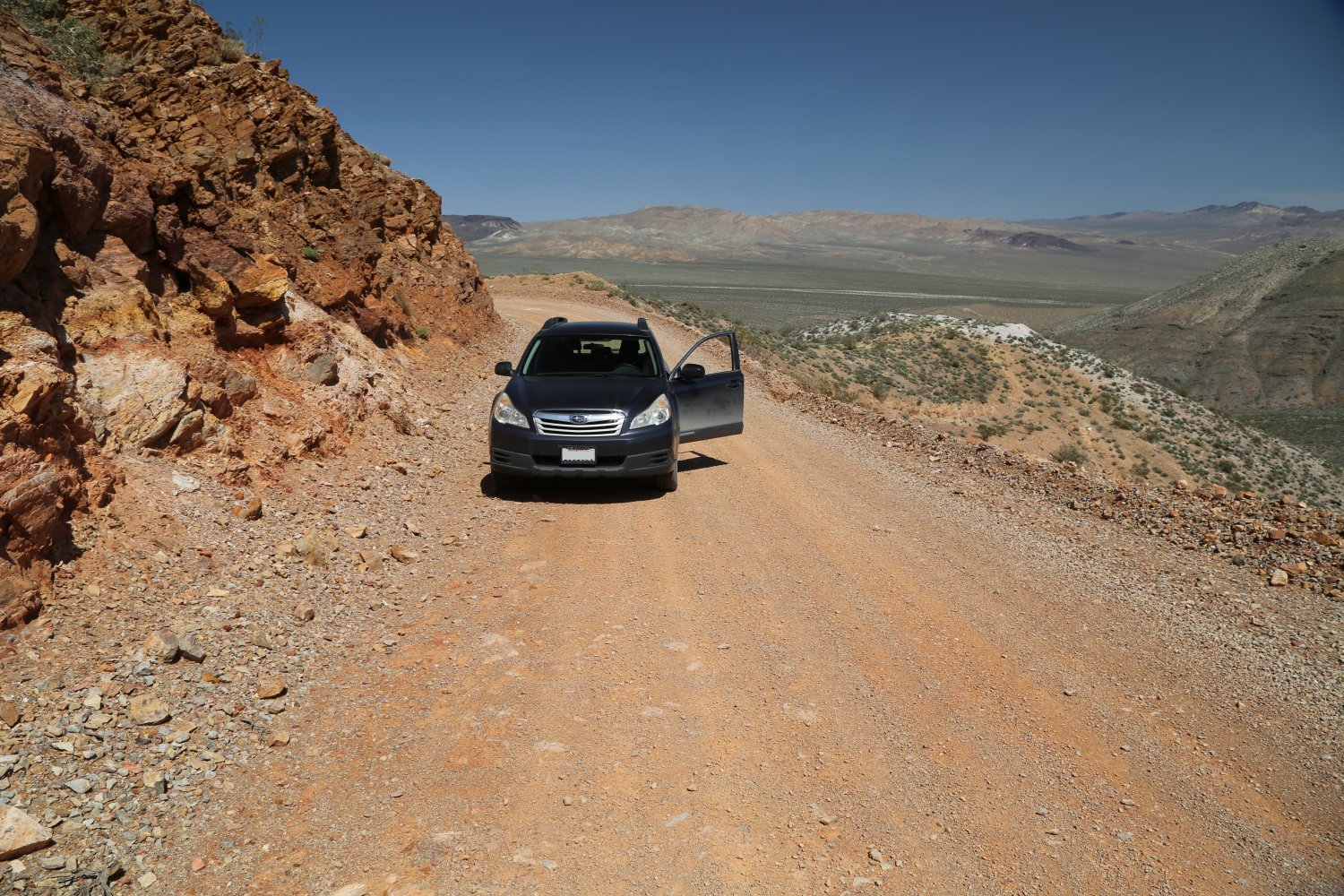
Highway 136 meets up with and turns into Highway 190 which passes through Panamint Springs – the “false” Death Valley. The high point on this road is about 4956 feet at Towne Pass. The top of the pass will be considerably cooler than either Death Valley or Panamint Springs. From this pass its mostly downhill to Death Valley – culminating in a very long stretch of downhill section to Stovepipe Wells (about 18 miles). This section from the pass to the valley floor is actually deceiving – it doesn’t look steep but motorists traverse a large elevation gain rather quickly. It is recommended to turn off air conditioning as one climbs up this portion of the road – if its 120 degrees plus on the valley floor – the good news is it will be much cooler closer to the summit.
 Highway 190 from Lone Pine is a very good road – several windy sections are located closer to Panamint Valley and then ultimately Death Valley but also many long straight sections. On some of the windy sections use caution, as sometimes there can be rock fall on the road.
If it is a very warm day one will really start noticing the extremely hot weather when reaching Panamint Springs. Signs on several sections of Highway 190 recommend turning the air conditioning to avoid overheating. Radiator water is also located in several places closer to Stovepipe Wells.
Another entrance to the park is from the south through the small town of Shoshone. From Shoshone its about a 2.5 hour drive to Las Vegas.
The entrance fee to Death Valley National Park is currently $30 – the pass is good for 7 days – annual passes are also available. Self pay kiosks are located at the ranger station at Stovepipe Wells (on the north side of the road), at the Furnace Creek Visitors Center (on the west side of Highway 190, at Beatty Ranger Station, on the south side of the Badwater parking lot next to the 2 bathrooms, at Grapevine, the small entrance station before reaching Scotty’s Castle and at a parking lot/info center along Highway 374, Daylight Pass Road. These kiosks accept cash and also major credit cards – they are functional 24/7 even in extreme heat.
Note: several of the kiosks are well within the park including at Furnace Creek, Grapevine and Stovepipe Wells.
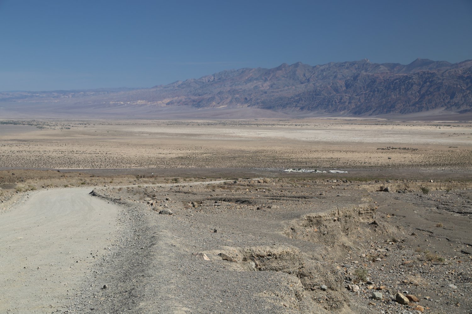
As one drives throughout the park when reaching sea level visitors will see signs marking that occasion, as well as signs when reaching -100 and -200 feet.
loading map - please wait...
Furnace Creek Resort, Furnace Creek, CA | |
Badwater Basin | |
Scotty's Castle, Inyo, CA | |
Mesquite Flat Sand Dunes, Death Valley |

Leave a Reply