X

Get FREE Email Updates

Sign Up

Dave's Travel Corner

Seeing the World One Step at a Time

  • Home
  • Blog
  • Guides
  • Journals
  • Photos
  • Videos
  • Links
  • Interviews
  • About

guides

Seeing the World One Step at a Time. Guides are updated on an ongoing basis.


Mt. Lassen, CA – Directions

Previous Page
Next Page

Mt. Lassen National Park is located in northern California north east of Red Bluff and south east of Redding. Lassen is about a 4 hour drive from Sacramento and about a 1 hour drive from Red Bluff. Highway 89 bisects the park and is the same road that winds along the spine of the northern Sierras all the way down to Lake Tahoe.

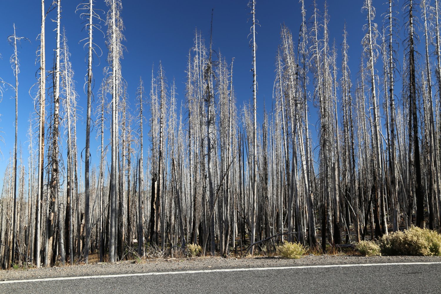
From the town of Red Bluff take Highway 36 (the turnoff is about a 1/4 miles east of the city limits). This highway is well paved and quickly gets you to the park entrance. Along the way you will see field so lava rocks strewn about – evidence of a violent geological history in these parts. It is approximately 45 miles from the Highway 36 turnoff to the park entrance.

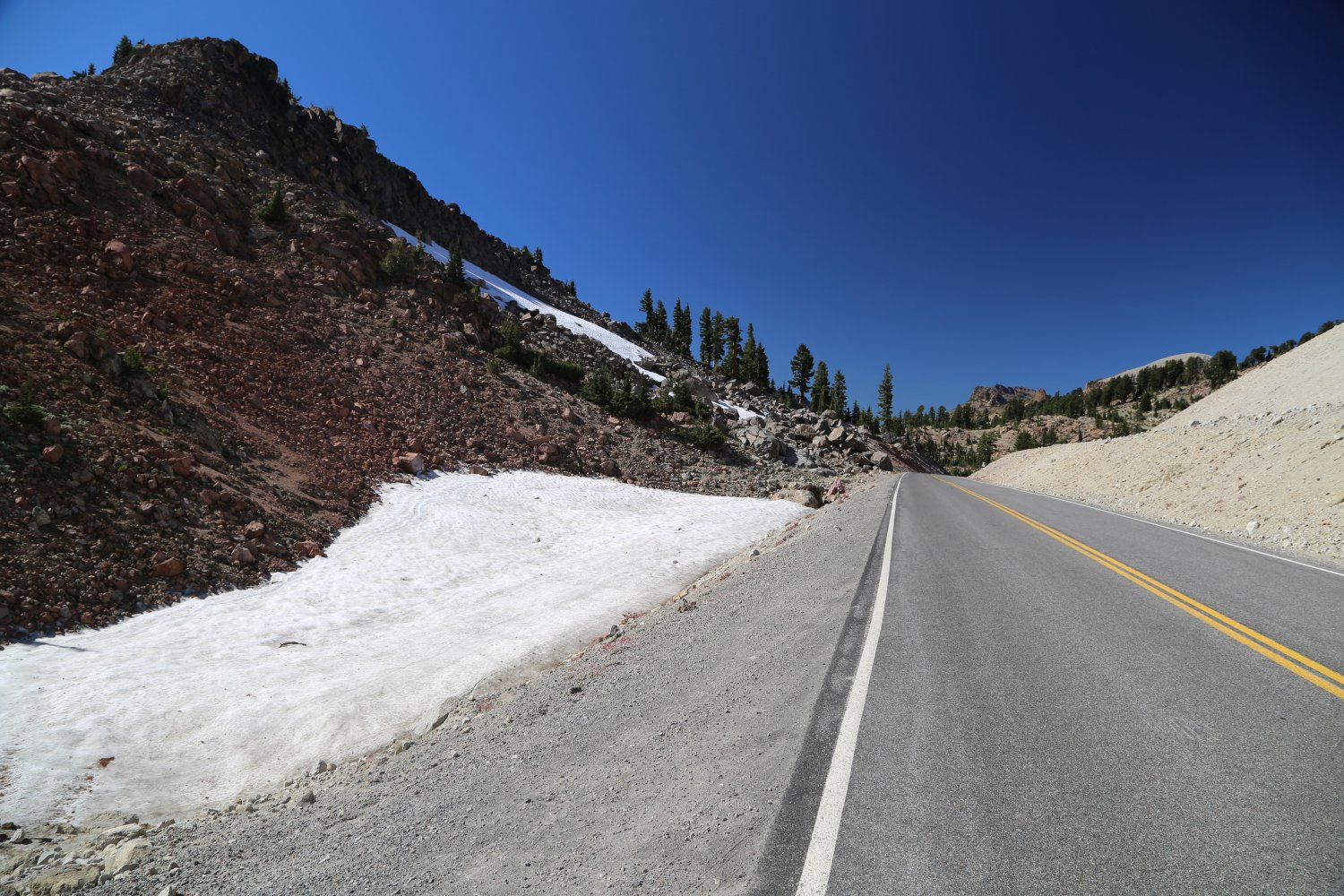
The Highway 89 junction with Highway 36 is at the summit of Highway 36. Highway 89 through Lassen Park is open from spring to mid/late fall. It is closed in the winter due to the heavy snows. In the winter Highway 89 is usually kept clear of snow for about 5 or 6 miles until the actual park entrance.

From Redding the best way to access the park is from Highway 44. This is a good highway, a bit windy at times but is the most direct way from Redding to the park.


Lassen National Park

loading map - please wait...

Cinder Cone: 40.547385, -121.319973
Butte Lake: 40.564329, -121.305528
Bumpass Hell: 40.457936, -121.501826
Lassen Peak: 40.487659, -121.504981
Chaos Crags: 40.524048, -121.522204
Subway Cave Lava Tubes: 40.684673, -121.419697
Hat Creek Fishing: 40.667660, -121.446644
marker icon
icon-car.png
Cinder Cone
Cinder Cone, Lassen Volcanic National Park
marker icon
icon-car.png
Butte Lake
Butte Lake Campground
marker icon
icon-car.png
Bumpass Hell
Bumpass Hell, Shasta, CA
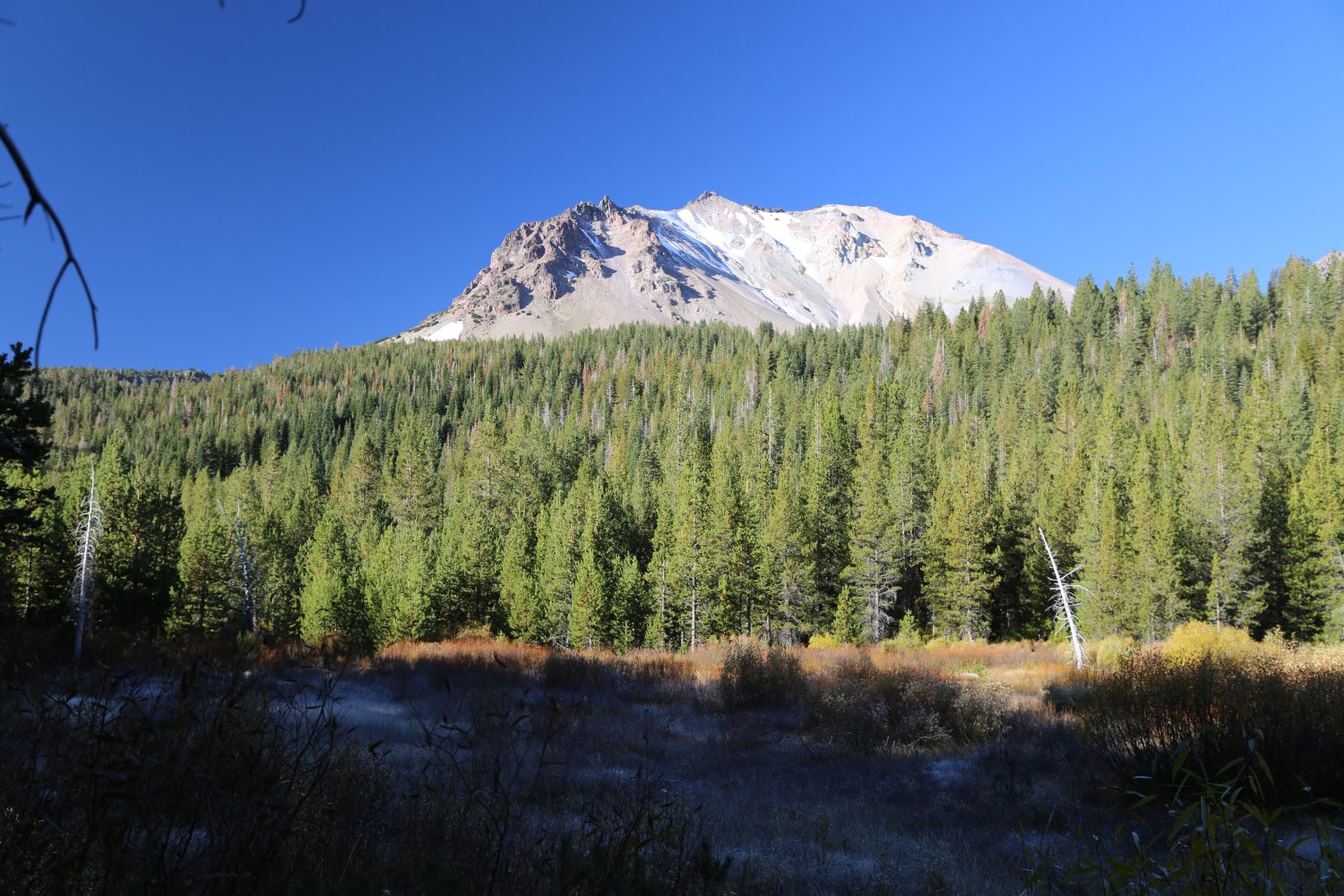
marker icon
icon-car.png
Lassen Peak
Lassen Peak
marker icon
icon-car.png
Chaos Crags
Chaos Crags, Lassen Volcanic National Park
marker icon
icon-car.png
Subway Cave Lava Tubes
Subway Cave Lava Tubes, Lassen National Forest, Old Station, CA
marker icon
icon-car.png
Hat Creek Fishing
Hat Creek Campground, Old Station, CA

Previous Page
Next Page

Leave a Reply

Your email address will not be published. Required fields are marked *

Want an avatar to show with your comments? Get a free Gravatar

This site uses Akismet to reduce spam. Learn how your comment data is processed.

Follow @DaveDTC

Get FREE Email Updates  I

Categories

Latest Posts

  • On April 29, Yo-Yo Ma and Louisville Orchestra Per…
  • Jackson Doktok, Chairman of Palau Visitors Authori…
  • Artezzan Restaurant and Bar, ChesterFunctional and sophisticated base from which to en…
  • Rediscovering Lithuania’s Springtime Nature:…
  • Taiwan-Based STARLUX Airlines Launches First Trans…

Explore

  • Above the Clouds
  • Guides
  • Highlight of the Month
  • Interviews
  • Journals
  • Press Releases
  • Videos

Prepare

  • Book Reviews
  • Pack List
  • Quiz: Geography
  • Quiz: Travel
  • Tour Booking
  • Travel Insurance
  • Travel Products

Share

  • Contribute
  • Forums
  • Links
  • Photos

About

  • About Us
  • Advertise
  • Contact Us
  • Contributors
  • Email Dave
  • Media Coverage
  • Media Kit
Hi I'm Dave. After a life changing trip in 1996, I began this site as a creative outlet to educate, inspire and share travel experiences. Read more...
  • Facebook
  • Instagram
  • LinkedIn
  • Pinterest
  • RSS
  • Twitter
  • Vimeo
  • YouTube

Return to top of page
Copyright © 1996–2023 Dave's Travel Corner · All Rights Reserved · Log in

7ads6x98y