There is a specific sound that haunts every hiker who has set foot in Palauig, Zambales. It isn’t the howling wind of the Cordilleras or the rushing water of a river trek. It is the rhythmic, hollow crunch-clack-crunch of hiking boots striking loose stones.
For 18 kilometers going up and 18 kilometers coming down, this sound is your soundtrack.
Welcome to Mt. Tapulao, the “High Peak” of the Zambales Mountain Range. Standing at 2,037 meters above sea level (MASL), it is a geological paradox: a mountain that begins in the sweltering tropical heat of Central Luzon and ends in a freezing, mist-covered pine forest that rivals the highlands of Benguet.
In the local mountaineering community, Tapulao is often called “The Poor Man’s Pulag” because of its similar pine trees and sea of clouds. But ask anyone who has actually climbed it, and they will tell you that nickname is a lie. Tapulao is not a “poor man’s” anything; it is a rich man’s suffering. It is an endurance test that demands patience, grit, and—most importantly—the right footwear.
If you are looking for a casual weekend walk, look elsewhere. But if you are looking for a journey that breaks you down to build you back up, the High Peak is waiting.
Mt. Tapulao Trail
The Ghost of Industry: Understanding the Terrain
To understand why this climb is so distinct, you have to look at its history. Unlike the organic, root-filled trails of Mt. Makiling or the grassy slopes of Mt. Batulao, the path to Tapulao’s summit wasn’t carved by indigenous hunters or water buffaloes. It was blasted by dynamite and flattened by bulldozers.
For decades, this mountain was a hub for large-scale chromite mining. The “trail” we hike today is actually an old industrial access road used to haul heavy minerals from the upper slopes down to the lowlands.
This context is vital for any prospective climber. It explains why the trail is wide, exposed, and relentlessly rocky. You aren’t walking on soil; you are walking on a layer of fist-sized rocks, scree, and boulders that have been baking in the sun for years. This terrain creates a unique physical challenge: micro-instability. With every step, the rocks shift slightly under your weight, forcing your calves, ankles, and stabilizer muscles to work overtime. It is a slow, cumulative burn that catches many hikers off guard.
Mt. Tapulao Trail
Mt. Tapulao Trail
Preparation: The “Footwear Doctrine”
Before we even talk about the itinerary, we need to talk about gear. When I was planning my trip, I consulted the comprehensive guides on Lakbay Pinas, and their advice was blunt: Do not wear soft running shoes.
They call it the “Footwear Doctrine,” and it saved my feet.
The physics are simple. Soft foam soles (like those found in popular lifestyle sneakers like NMDs or Roshes) are designed to cushion your feet against flat pavement. On Tapulao, the jagged rocks press into that soft foam, deforming it until the sharp edges are pushing directly against the bones of your feet. After 10 kilometers, this leads to “stone bruising”—a deep, aching pain that feels like your feet have been beaten with a hammer.
For this expedition, you need rigidity. You need hiking boots with a stiff shank or trail runners with a built-in “rock plate.” You need a sole that acts as a shield, absorbing the jagged edges so your feet don’t have to.
Phase 1: The Furnace (Km 0 to Km 6)
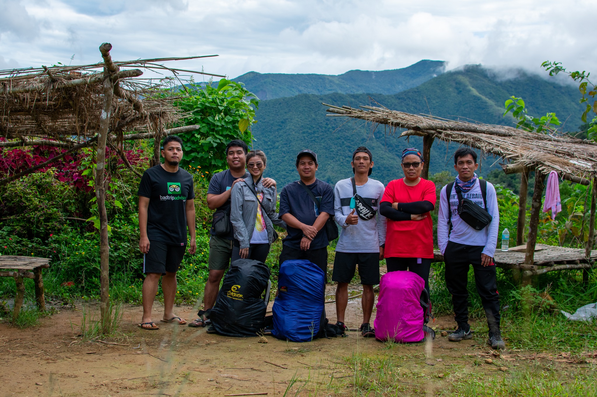
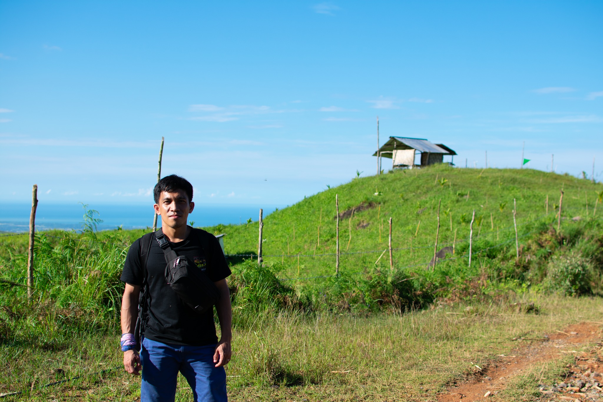
The journey typically begins at Sitio Dampay in Palauig. Most groups, following the standard itineraries found on travel blogs like Lakbay Pinas, arrive pre-dawn. The goal is to start walking by 5:00 AM or 6:00 AM at the latest.
Why the rush? Because of the heat.
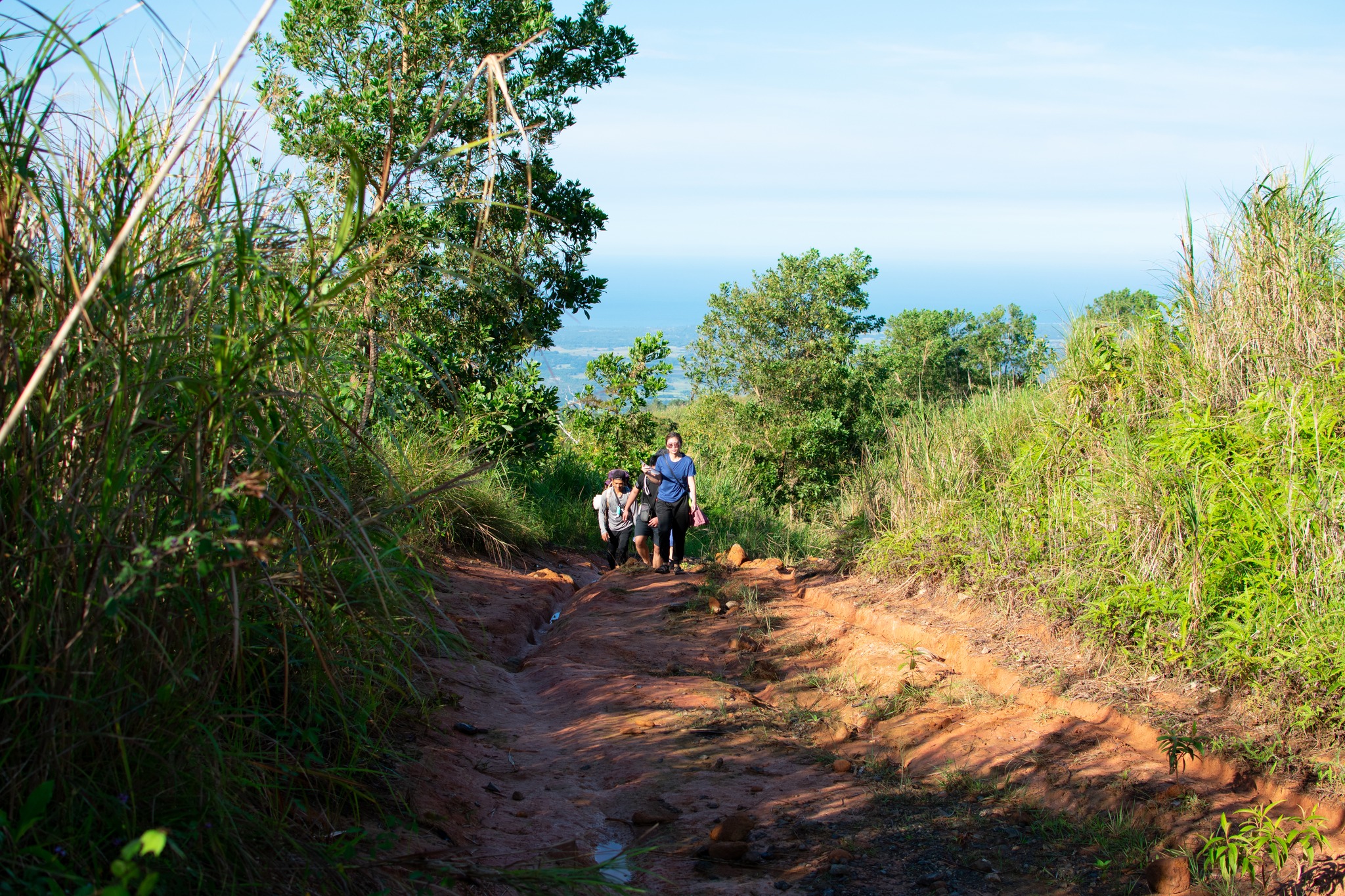
The first six kilometers of the trek are known as the “Heat Gauntlet.” You are walking through lowland scrub and grassland dominated by towering Talahib (wild sugarcane). There are no trees to block the sun.
As the sun rises over the Zambales range, the white rocky road reflects the heat upward, creating a convection oven effect. By 9:00 AM, the temperature can easily hit 35°C or higher. It feels heavy and oppressive. The dust kicked up by other hikers sticks to your sweaty skin, coating you in a layer of grime before you’ve even reached the halfway point.
This section is a mental game. You can see the road stretching out for miles ahead, winding endlessly upward. There are no technical obstacles to distract you—just the heat and the incline.
Pro Tip: Don’t rely on a baseball cap. Use a reflective trekking umbrella. It creates your own portable shade and can lower the temperature around your head by a significant 5-7 degrees.
Mt. Tapulao Trail
Phase 2: The Grind and The Water (Km 6 to Km 12)
Around the 6-kilometer mark, the vegetation starts to thicken slightly, transitioning into a secondary dipterocarp forest. The shade is patchy, but welcomed. However, the road gets rougher. The rocks grow larger, turning from gravel into loose boulders that roll underfoot.
This is the “Chromite Grind.” It is the longest, most monotonous part of the day. You are gaining elevation steadily, but the summit still feels impossibly far away.
The saving grace of this section is Km 10. Here, a natural spring has been piped to the side of the road, offering a continuous flow of ice-cold mountain water. It is an oasis in the truest sense. Hikers congregate here, splashing water on their faces and refilling their bladders.
According to the updated logistics on Lakbay Pinas, this is often the last reliable water source during the dry season (March to May). While there is a source near the campsite, it can reduce to a trickle in summer. The smartest move? Camel-up here. Drink your fill and carry an extra 3 liters for camp cooking.
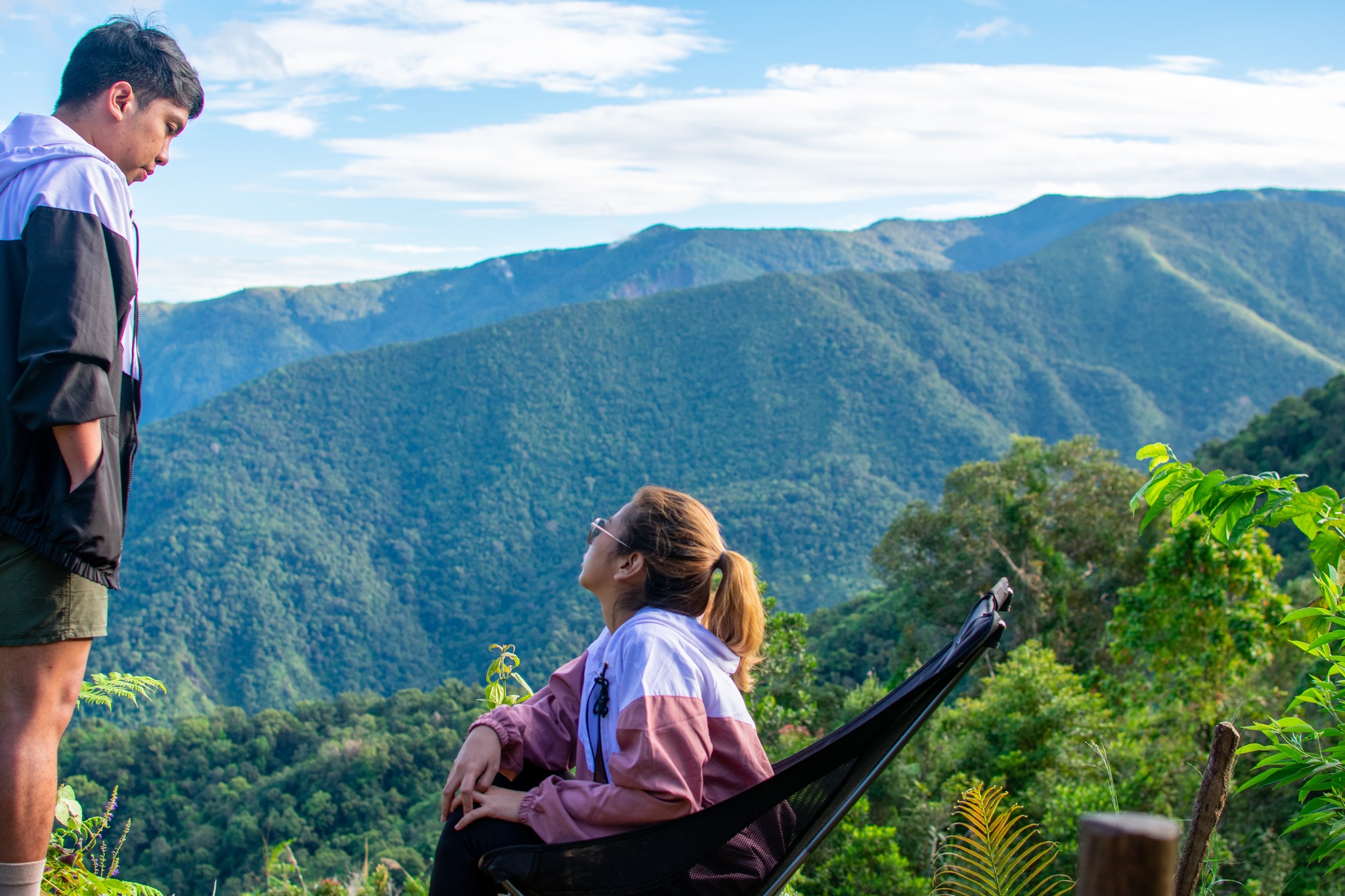
Phase 3: The Portal to Benguet (Km 12 to Km 16)
Then, almost like magic, everything changes.
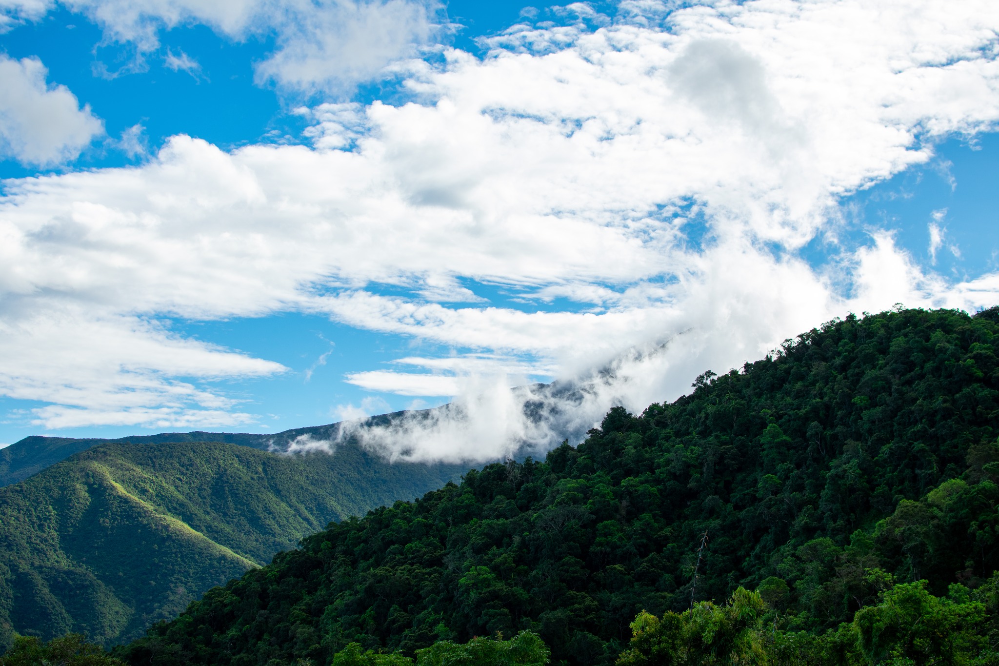
At around Kilometer 12, you cross an invisible threshold. The humid, sticky tropical air suddenly vanishes, replaced by a cool, crisp breeze that smells distinctly of vanilla and resin.
You look up, and the scrubby trees are gone. Towering above you are majestic Sumatran Pines (Pinus merkusii). You have entered the “Pine Line.”
This is the reward. The ground, while still rocky, is now carpeted in layers of dried pine needles, softening your step. The temperature drops rapidly—often by 10 degrees or more. Mist begins to swirl through the branches, creating a moody, cinematic atmosphere that feels a world away from the dusty furnace you walked through just hours ago.
The exhaustion doesn’t disappear, but it becomes manageable. The beauty of the pine forest is a potent painkiller. You find yourself stopping not to catch your breath, but to take photos of the light filtering through the canopy.
Mt. Tapulao Trail
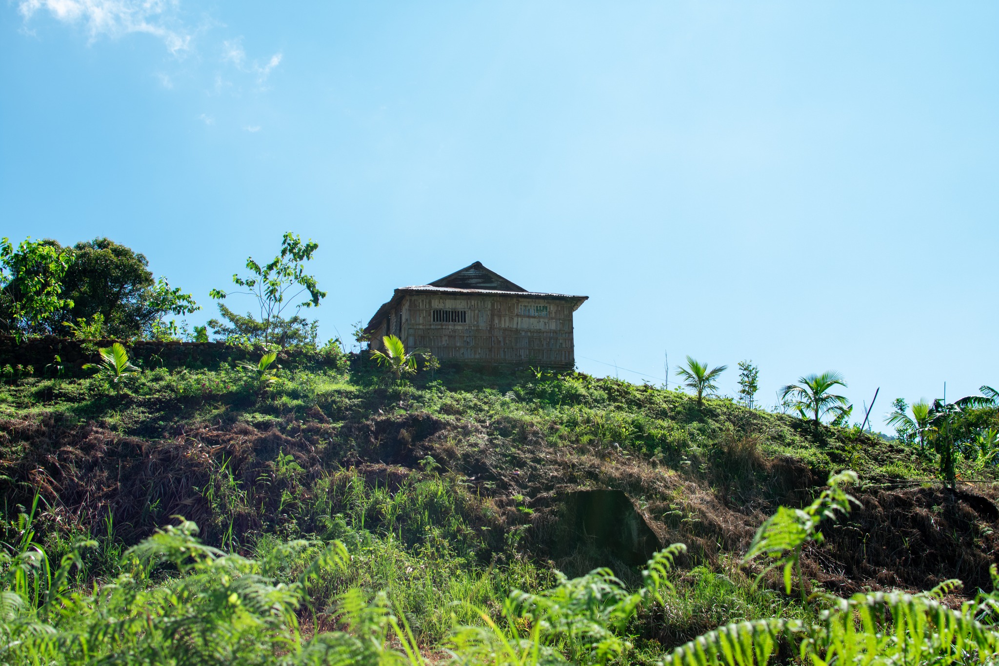
Camp Life: The Bunker
The main campsite is located at Kilometer 16, popularly known as “The Bunker.” It’s named after an old structure used by the caretakers, but most hikers pitch their tents on the flat, hard-packed earth nearby.
If the day was about surviving the heat, the night is about surviving the cold.
Zambales might be a coastal province, but at 1,800 meters, the wind chill is ferocious. Temperatures can drop to 10°C or lower. I’ve seen unprepared hikers shivering in cotton hoodies, unable to sleep because they underestimated the “High Peak” chill.
This is where your preparation pays off. As soon as you stop hiking, you must strip off your sweat-soaked trekking clothes and change into dry thermals. A fleece jacket, a windbreaker, and a bonnet are non-negotiable.
The vibe at the campsite is unlike any other. Because everyone has just survived the same grueling 16-kilometer ascent, there is a shared sense of camaraderie. Groups share food, coffee, and stories. And if the sky clears, the lack of light pollution offers a dazzling display of the Milky Way, framed by the silhouettes of pine trees.
The Summit Assault and The Mossy Forest
The final push happens the next morning. Most itineraries suggest a 4:30 AM wake-up call to catch the sunrise.
The last 2 kilometers abandon the wide mining road entirely. You turn onto a single-track trail that winds into a dense Mossy Forest. This is the third distinct ecosystem of the mountain. The pine trees become gnarled and stunted, draped in hanging moss, ferns, and orchids. It is wet, muddy, and green—a stark contrast to the white rocks below.
The summit itself sits at 2,037 MASL. While the very peak can sometimes be enclosed by trees, there are view decks nearby that offer a breathtaking panorama. To the west, you can see the coastline of Zambales and the shimmering West Philippine Sea. To the east, the vast plains of Tarlac and Pampanga stretch out to the horizon.
Standing there, shivering in the morning light, the pain in your legs feels irrelevant. You are standing on the roof of Zambales.
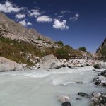
Bagsit River in Mt. Tapulao
The Descent: A Different Kind of Pain
They say the summit is only halfway. On Tapulao, the descent is arguably harder than the climb.
Gravity is not your friend on loose rocks. Going down 18 kilometers puts immense pressure on your knees and toenails. This is where trekking poles become essential. They act as a second pair of legs, taking the load off your joints and helping you brake on the steep sections.
The descent is a race against the sun. You want to be back in the forest cover of the lower slopes before the midday heat returns. It is a long, jarring walk back to reality.
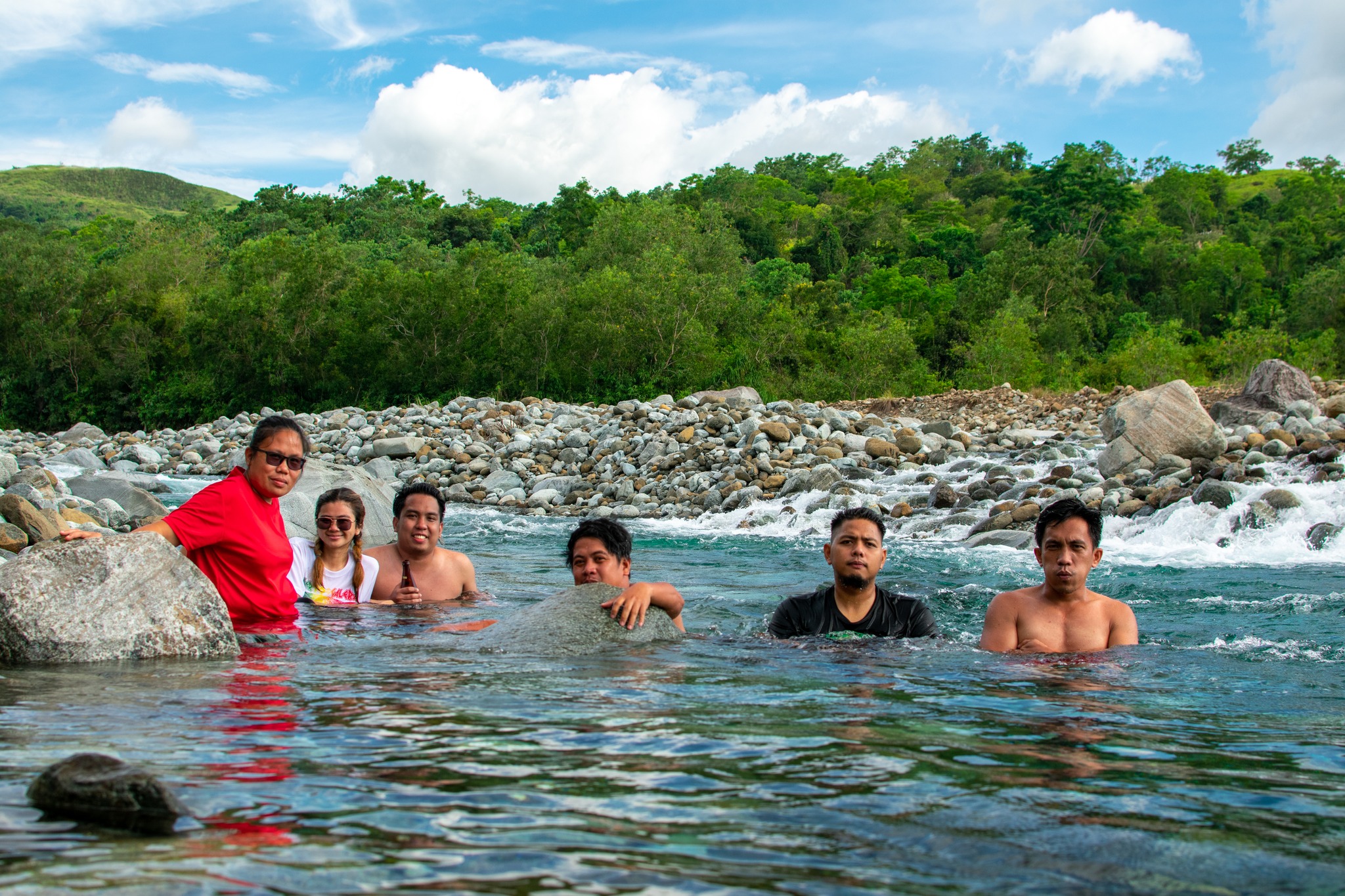
Recovery: The Secret of Bagsit River
When you finally limp back into Sitio Dampay, dusty, sunburnt, and exhausted, there is one final treat waiting for you.
A short tricycle ride from the jump-off point lies Bagsit River. It is the “Enchanted River” of the province—turquoise, crystal clear, and freezing cold.
For a hiker, this river is medicinal. Plunging your swollen, battered legs into the icy water provides instant relief. It reduces the inflammation and washes away the two days of grime and sweat. It is the perfect period at the end of a long, difficult sentence.
Mt. Tapulao Trail
Final Thoughts: Is It Worth It?
Mt. Tapulao is not a mountain you conquer; it is a mountain you survive. It is monotonous, hot, and physically punishing. It lacks the variety of other major climbs.
And yet, it is one of the most rewarding hikes in Luzon. The transition from the hostile lowlands to the serene highlands is a journey few other mountains can offer. It teaches you that the most beautiful places are often the hardest to reach.
If you are planning to take on the High Peak in 2026, do not go in blind. The logistics—transport schedules, updated registration fees, and contact numbers for the tourism office—are constantly changing.
For the most up-to-date, comprehensive, and hiker-verified information, I highly recommend checking out the Mt. Tapulao Travel Guide on Lakbay Pinas. They cover the nitty-gritty details that guest posts like this can’t, including detailed budget breakdowns and GPS maps.
Prepare your legs, buy the right boots, and respect the Chromite Road. The pines are waiting.
Mt. Tapulao Trail


Leave a Reply